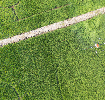
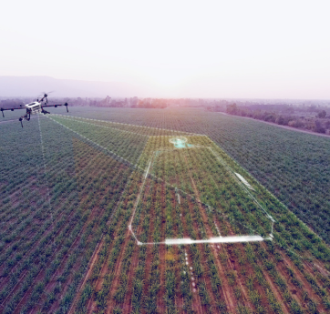
Precision agriculture starts with accurate, detailed data. Our agricultural drone surveys provide fast and cost-effective mapping of large farmland areas. We use high-resolution RGB and multispectral imagery to detect changes in crop health, identify soil problems and detect drainage issues. The collected aerial data is processed into NDVI, DSM and orthophotos, which are used as a basis for smart fertilisation and targeted spraying. This service enables improved yields, optimised input use and enhanced sustainability.
Our Work flow Step by Step
Every project is guided by careful planning, cutting-edge technology, and a personalized approach—from first contact to final delivery.
Start a projectTell us about your vision, and we’ll help you find the best drone solution.
Book a time, and we’ll arrange your on-site drone shoot.
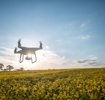
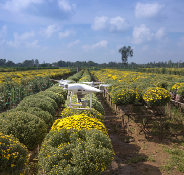
Our skilled pilots operate on site with precision and safety.