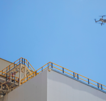
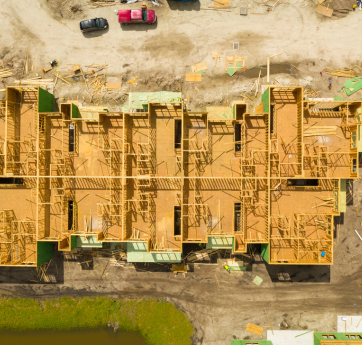
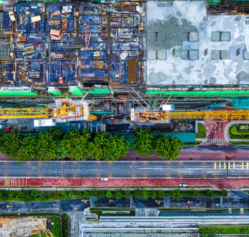
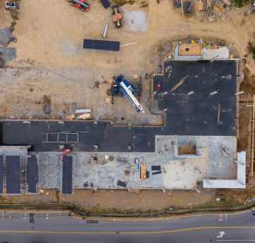
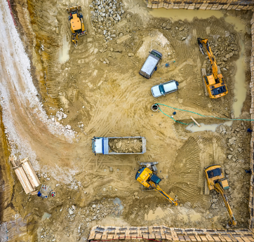
Drone technology provides a fast, safe, and highly efficient solution for monitoring construction and industrial sites. Our aerial footage enables accurate documentation throughout each project phase, improves subcontractor oversight, and enhances transparency for stakeholders. With the use of DJI Terra and Pix4D software, we generate detailed orthomosaics, 3D models, and volume analyses that support quantity estimations, site planning, and construction reporting. This service saves time and resources while delivering real-time, high-accuracy visual data from above.
Our Work flow Step by Step
Every project is guided by careful planning, cutting-edge technology, and a personalized approach—from first contact to final delivery.
Start a projectTell us about your vision, and we’ll help you find the best drone solution.
Book a time, and we’ll arrange your on-site drone shoot.
Our skilled pilots operate on site with precision and safety.